| Pardes Hanna-Karkur | ||
 Pardes Hanna-Karkur municipality building | ||
| ||
 Pardes Hanna-Karkur |
||
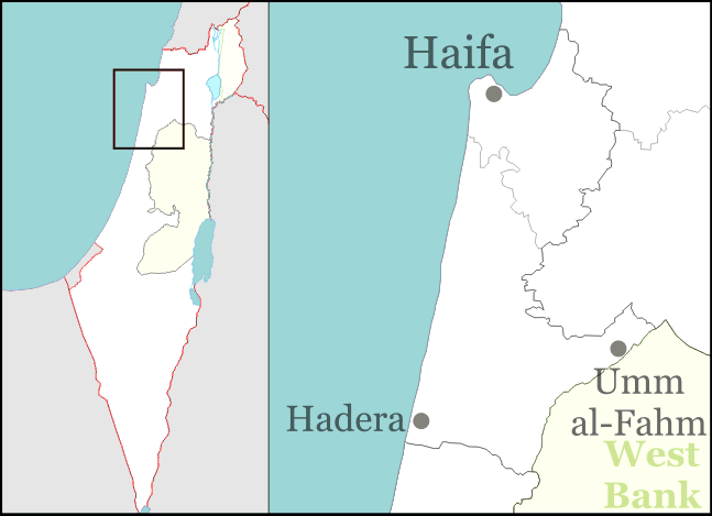
| District | Haifa | |
| Government | Local council | |
| Hebrew | פַּרְדֵּס חַנָּה-כַּרְכּוּר | |
| Population | 29,800 (2006) | |
| Area | 22596 dunams (22.596 km2; 8.724 sq mi) | |
| Head of municipality | David Ga'ash Hayim | |
| Founded in | 1969 | |
| Coordinates | 32°28′16″N 34°58′03″E / 32.47111°N 34.9675°ECoordinates: 32°28′16″N 34°58′03″E / 32.47111°N 34.9675°E | |

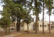
Beit Harishonim, Pardes Hanna
Pardes Hanna-Karkur (Hebrew: פַּרְדֵּס חַנָּה-כַּרְכּוּר) is a town in the Haifa District of Israel. In 2006, it had a population of 29,800.
History[]
In 1913, 15,000 sq. kilometers of land was purchased by the Hachsharat Hayishuv society from Arabs in Jenin and Haifa for 400,000 francs (a sum equivalent to 2 million US dollars).[1] Two years later, the land was sold to a private investor, Yitzhak Shlezinger, the Odessa Committee and the First London Ahuza society. This land became the core of Karkur, Moshav Gan Hashomron and Kibbutz Ein Shemer. Until actual settlement began, the area was guarded by Hashomer, which planted eucalyptus trees to circumvent a Turkish law that allowed the Ottomans to expropriate lands if they were not cultivated for three years.[1]
The early settlements did not fare well. Shlezinger went bankrupt and sold his land to the Jewish National Fund. The London Ahuza society hoped to settle English Jews on the land, but succeeded only partially. Eventually the Jewish National Fund and the London Ahuza society joined forces to establish Karkur.[1]
Pardes Hanna (lit. "Hanna's orchard", also spelled in English as "Pardas Chana") was founded in 1929 by Palestine Jewish Colonisation Association and named after Hannah Rothschild, daughter of Nathan Mayer Rothschild.
On 6 April 1948, the Irgun raided the British Army camp at Pardes Hanna killing seven British soldiers and stealing a large quantity of weapons.[2]
After Israeli independence, Neve Efraim was founded by Jewish immigrants from Yemen and Neve Oved was established by the Labor movement.[1] In the 1950s, the villages Tel Shalom and Neve Efraim were merged with Pardes Hanna.
Pardes Hanna and Karkur merged in 1969.
Demographics[]
According to the Israel Central Bureau of Statistics, the population of Pardes Hanna-Karkur was 29,800 at end of 2006. The land area is 22,596 dunams (~22.6 km²). Pardes-Hanna is governed by the largest local council in Israel by population size (among towns without municipal status).
Education[]
The oldest and largest school in Pardes Hanna-Karkur is the Pardes Hanna Agricultural High School, founded in the early 1930s as an educational framework for the children of farmers. It is the only high-school in Israel that offers a veterinary track. Pardes Hanna-Karkur has 4 religious elementary schools. A religious high-school for boys, Midrashiat Noam, attracted students from all over Israel before its closure as a religious school in 2006. Elisheva high school for girls is also located in Pardes Hanna.[1]
Transportation[]
Pardes Hanna-Karkur is served by the Caesarea-Pardes Hanna Railway Station and by buses run by Egged and Nativ Express. It is connected to Highway 4 by Road 651, and to Highway 65 by Roads 650 and 652.
See also[]
- Karkur junction suicide bombing
References[]
| Wikimedia Commons has media related to: Pardes Hanna-Karkur |
| ||||||||||||||||||||
Coordinates: 32°28′16″N 34°58′03″E / 32.47111°N 34.9675°E
ca:Pardes Hanna-Karkur cs:Pardes Chana-Karkur ru:Пардес Хана-Каркур